MaDGIC facilitates access to a world of research materials and technologies such as maps, atlases, air photos, geospatial and statistical data, government information, and specialized software and hardware to work with these materials in new and innovative ways.

We provide access to restricted microdata files as well as aggregate data, statistics, and census data made available for research and educational purposes.
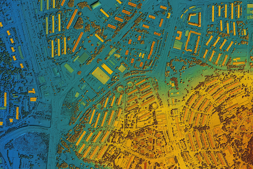
We provide access to licenced geospatial data and imagery through our partnerships with the Ontario Council of University Libraries (OCUL), DMTI Spatial and the Ontario Geospatial Data Exchange.

The library holds more than 200,000 items, including discussion papers, laws, financial reports, research, and demographic profiles.
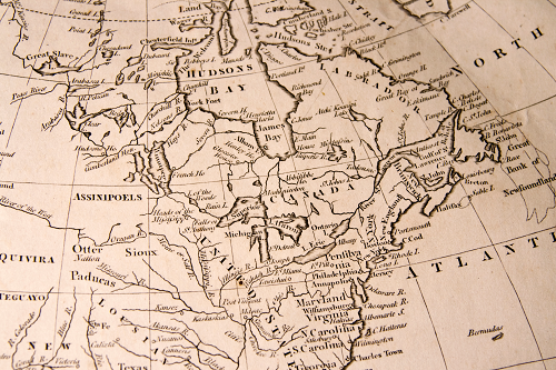
Find Maps, Atlases & Air Photos
The library's physical collection of cartographic resources includes more than 80,000 sheet maps, 22,000 air photos and an extensive collection of atlases, gazetteers, manuals and guides.