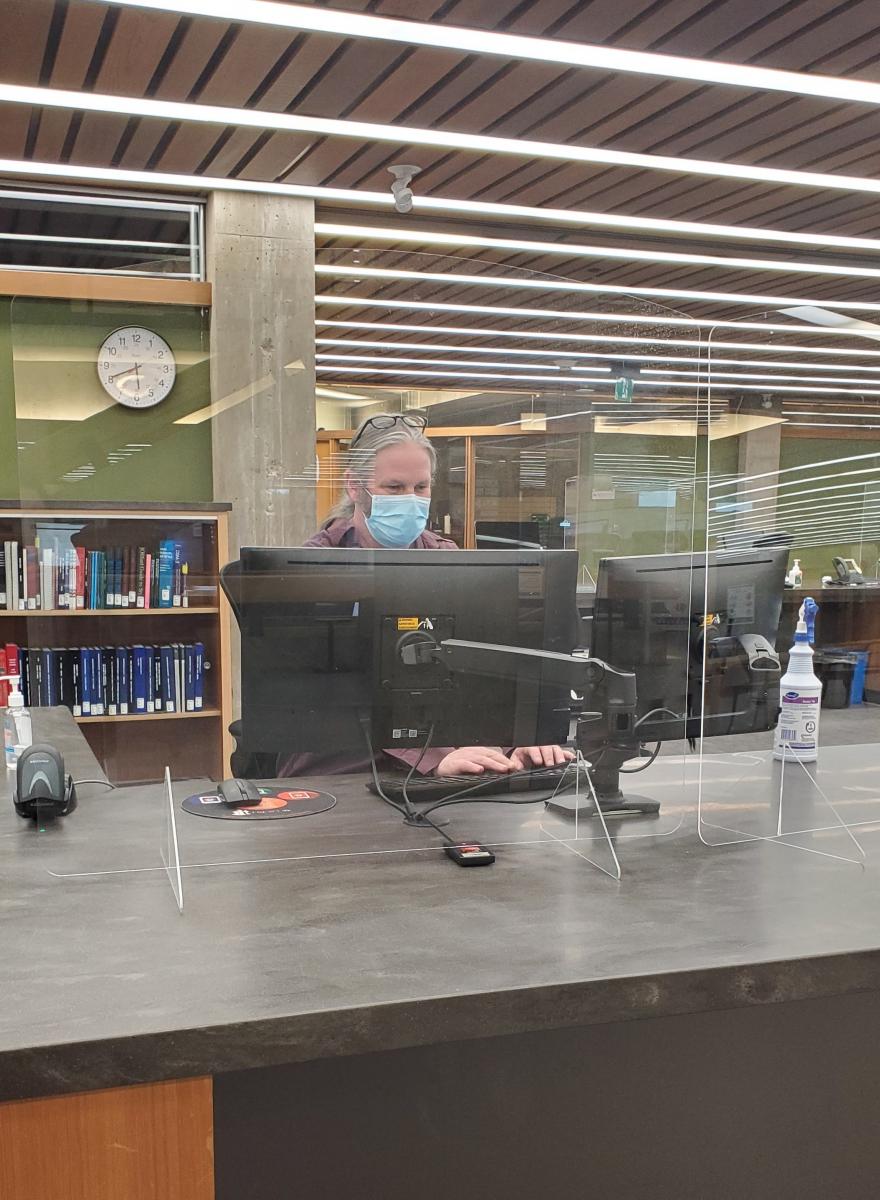
The Maps, Data and Government Information Centre (MaDGIC) serves as the campus centre for geospatial and numeric data, statistics, government publications, aerial photography, maps and other cartographic resources.
The map collection includes ca. 82, 236 sheet maps and an extensive collection of aerial photographs, atlases, gazetteers, manuals and guides. The collection is mainly comprised of Canadian sources, but other countries are well represented. We are a member of Communication Canada's Map and Chart Depository Program, which means we receive paper copies of topographic maps of Canada at all published scales, as well as maps published by the Geological Survey of Canada, and a variety of thematic maps.
Most Map Collection materials can be accessed through Trent University Library’s web catalogue, OMNI. Indexes to topographic maps are found within our collection.
Historic Air Photos
Trent University Library & Archives has a collection of more than 22,000 historical air photos in physical and georeferenced digital format. Collection sources include the National Air Photo Library, the provincial government, and private firms.
The collection spans time periods from 1929 to 1995 and is largely focused on Ontario although there is some additional coverage across all other provinces and territories. Use our online index at https://arcg.is/j90SH to explore available dates and geographic coverage for your area of interest.
Hard copy air photos are available from the Maps, Data & Government Information Centre (MaDGIC) located on teh fourth floor of Bata Library in Peterborough. Our staff in room 415 are available to assist Monday through Friday from 8:30 a.m. until 4:30 p.m.
Digital georeferenced air photos are available on request by emailing madgichelp@trentu.ca. Please note that digital copies of air photos captured less than 50 years ago are under copyright and available only for educational use by registered members of Trent University.
Recent Imagery of Ontario
The Ontario Ministry of Natural Resources and Forestry manages the Ontario Imagery Program to acquire, process and distribute high-resolution imagery and derivative data products for many areas of the province.
Imagery collections captured more than six years ago are publicly available as open web map services from the Ontario GeoHub. More recent imagery collections are subject to licensing restrictions. These collections can be accessed by members of Ontario universities for research and education purposes using Scholars GeoPortal.
Circulation
With the exception of some special collections, maps may be borrowed for 14 days.
Atlases and reference texts do not circulate.
Experienced staff are available to assist you in meeting your research needs and to assist course instructors with specially developed labs and instructional sessions to promote the use of these resources.


